Pakistan successfully launches remote sensing satellite from China
Web Desk
|
31 Jul 2025
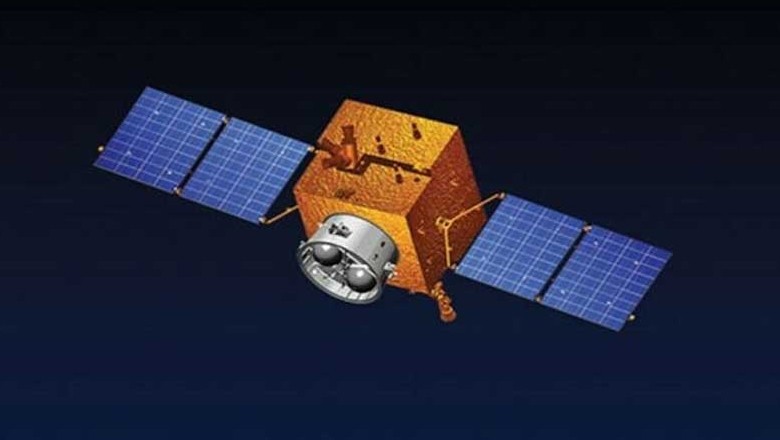
Pakistan has launched its latest remote sensing satellite into space early Thursday morning, marking a major milestone in the country's efforts to strengthen its space-based infrastructure for disaster management, environmental monitoring, and national development.
According to the Pakistan Space and Upper Atmosphere Research Commission (SUPARCO), the satellite was launched between 6:30 am and 7:15 am (Pakistan Standard Time) from the Xichang Satellite Launch Centre in China.
This state-of-the-art satellite is designed for Earth observation and scientific research and is expected to play a vital role in improving the country's capacity to detect and respond to natural disasters, including floods, landslides, earthquakes, glacier melting, and deforestation.
With the help of real-time data from the satellite, the country would get early warning systems and enable swift, effective disaster response.
In addition to its disaster management applications, the satellite will support agricultural monitoring, urban planning, infrastructure development, and mapping of transport networks. It will also track environmental changes and contribute to sustainable resource management.
Read: Pakistan set to launch new remote sensing satellite from China
SUPARCO highlighted that the satellite aligns with Pakistan’s National Space Policy and Vision 2047 roadmap, which aims to transform Pakistan into a technologically advanced nation through innovation in space science and research. It will also support key national initiatives, such as the China-Pakistan Economic Corridor (CPEC), by identifying geographical hazards and enhancing environmental planning.
In a related development, India’s space agency, ISRO (Indian Space Research Organisation), successfully launched its own satellite, NISAR, on Wednesday evening from the Satish Dhawan Space Centre in Sriharikota. The satellite is part of a joint India-US initiative to monitor global ecosystems, climate change, and natural hazards.
With both nations advancing their space capabilities, the region is witnessing a renewed emphasis on the use of space technology for sustainable development and scientific progress.


Comments
0 comment